Assawoman || Buntings Branch || Indian River || Indian River Bay || Iron Branch || Lewes-Rehoboth Canal || Little Assawoman || Rehoboth Bay
Buntings Branch
Background The Buntings Branch watershed is a subwatershed of the Little Assawoman Bay and is located in the south central section of Sussex County. The branch flows southward and crosses the Delaware-Maryland state line about one and one-quarter miles below Selbyville. Little Assawoman Bay makes up one of three of Delaware's Inland Bays. The Inland Bays consist of three interconnected bodies of water - Rehoboth Bay, Indian River Bay, and Little Assawoman Bay - all located in southeastern Sussex County. The Little Assawoman, Assawoman, and Buntings Branch watersheds are all part of the Little Assawoman Bay, and drain an area that extends from the Assawoman Canal to its confluence with Little Assawoman Bay on the southeast coast of Delaware. The land use of the watershed is made up primarily of agriculture and wetlands. Selbyville is the only incorporated town. Cypress Swamp, a unique natural feature, is located in this watershed.
Water Quality There are nutrient and bacteria TMDLs for the Buntings Branch Watershed which requires a 31% reduction in nitrogen, a 19% reduction in phosphorus, 40% reduction in freshwater nonpoint bacteria, 23% reduction in marine nonpoint bacteria, and a cap on point source bacteria at a geometric mean concentration level of 35 CFU enterococcus/100mL. The designated uses for this watershed include primary and secondary recreation, fish, aquatic life and wildlife, and agricultural water supply. This watershed has sites sampled for a consistent suite of environmental contaminants. These contaminants are broadly classified as Volatile Organic Compounds (VOCs), Semi-Volatile Organic Compounds (SVOCs), Pesticides, Polychlorinated Biphenyls (PCBs) and Metals as listed using USEPA and DNREC defined standards. When sites are adjacent to water bodies sediment samples are collected to assess potential impact from a site on the health of the waters. Learn more information specific to this watershed from the DNREC Advanced Facility Search Tool.
Plants and Wildlife Delaware's Department of Natural Resources and Environmental Control (DNREC), Division of Fish and Wildlife conducts on-going inventories of natural communities as well as rare and declining species, (e.g., state and globally-rare plants, birds, insects, mussels, reptiles, and amphibians). It maintains a database, both electronic and manual, of its findings throughout the state. Learn more about the wildlife and plant communities in this watershed from the DNREC Division of Fish and Wildlife Conservation Programs. In addition, the Division of Fish and Wildlife, working with the University of Delaware's Institute for Public Administration - Water Resources Center, maintains online databases about plants and plant communities in Delaware. Learn more about the plant communities in this watershed from the DNREC Division of Fish and Wildlife.
Further Resources For more detailed information on this watershed, its water quality and resources, check out the following resources: Delaware TMDLs Delaware Watershed Plans Delaware Whole Basin Reports Center for Inland Bays 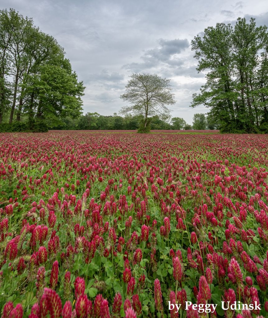 View of a field of crimson clover in Selbyville Photo credit: Peggy Udinsk | Quick facts ▲ Square Miles (total): 46.0 Square Miles (DE): 9.9 Population (total)*: 11,849 Population (DE)*: 1,808 States: DE, MD Counties: DE: Sussex MD: Worcester *Source: U.S. Census Bureau, American Community Survey 5-year estimates, 2019.
Land cover (total)† ▲
Land cover within Delaware† ▲ †Source: National Oceanic and Atmospheric Administration, Office for Coastal Management. 2016 C-CAP Regional Land Cover. Coastal Change Analysis Program (C-CAP) Regional Land Cover.. |