Brandywine Creek || Christina River || Naamans Creek || Red Clay Creek || Shellpot Creek || White Clay Creek
Red Clay Creek
Background The Red Clay Creek watershed is one of four major watersheds in the Christina Basin. The Christina Basin is part of the Delaware River Basin. The Red Clay Creek watershed is located in southern Chester County (PA) and northern New Castle County (DE). It flows into the White Clay Creek (in the vicinity of Stanton, DE) and the combined flow empties into the tidal Christina near Churchmans Marsh. Except for the very lower reaches, which are tidal, the Red Clay Creek is a free-flowing stream. Land use within the Red Clay Creek watershed is split among three major land use categories: agriculture, forest/wetland, and urban/suburban. Collectively the White Clay, Red Clay, and Brandywine creeks and Christina River are used to supply drinking water to more than 50% of New Castle County's population. The Red Clay Creek watershed serves as a source of drinking water supplies with one reservoir (Hoopes) and several public water supply wells that provide water supply to parts of Chester and New Castle counties. Four surface water intakes and numerous wells are located within the watershed for commercial and community water supplies. Six municipalities of Pennsylvania and unincorporated areas of New Castle County, Delaware are located within the watershed.
Water Quality The nutrient and bacteria TMDLs for the Delaware portion of the Red Clay Creek requires varied reductions based on the stream segment of between 0-62% reduction in nitrogen, between 0-77% reduction in phosphorus and between 29-95% reduction in bacteria. The zinc TMDL for the Delaware portion of the Red Clay Creek Watershed requires a cap on zinc at 55.93 pounds/day. This watershed has sites sampled for a consistent suite of environmental contaminants. These contaminants are broadly classified as Volatile Organic Compounds (VOCs), Semi-Volatile Organic Compounds (SVOCs), Pesticides, Polychlorinated Biphenyls (PCBs) and Metals as listed using USEPA and DNREC defined standards. When sites are adjacent to water bodies sediment samples are collected to assess potential impact from a site on the health of the waters. Learn more information specific to this watershed from the DNREC Advanced Facility Search Tool.
Plants and Wildlife Burrows Run, a subwatershed of the Red Clay Creek, is designated as cold water fish waters. Delaware's Department of Natural Resources and Environmental Control (DNREC), Division of Fish and Wildlife conducts on-going inventories of natural communities as well as rare and declining species, (e.g., state and globally-rare plants, birds, insects, mussels, reptiles, and amphibians). It maintains a database, both electronic and manual, of its findings throughout the state. Learn more about the wildlife and plant communities in this watershed from the DNREC Division of Fish and Wildlife Conservation Programs. In addition, the Division of Fish and Wildlife, working with the University of Delaware's Institute for Public Administration - Water Resources Center, maintains online databases about plants and plant communities in Delaware. Learn more about the plant communities in this watershed from the DNREC Division of Fish and Wildlife.
Recreation and Culture A number of historic and cultural resources have been identified in the Red Clay Creek watershed. Longwood Gardens is located in the watershed. Additionally there are historic structures, historic districts, and historic landmarks. The Wilmington and Western Railroad, which winds through the valley following the Red Clay creek, once brought goods from the mills to the ports in Wilmington and is a living example of the industrial history of the watershed.
Further Resources For more detailed information on this watershed, its water quality and resources, check out the following resources: Delaware TMDLs Chester County Water Resources Plans Delaware Watershed Plans Delaware Whole Basin Reports Brandywine Red Clay Alliance 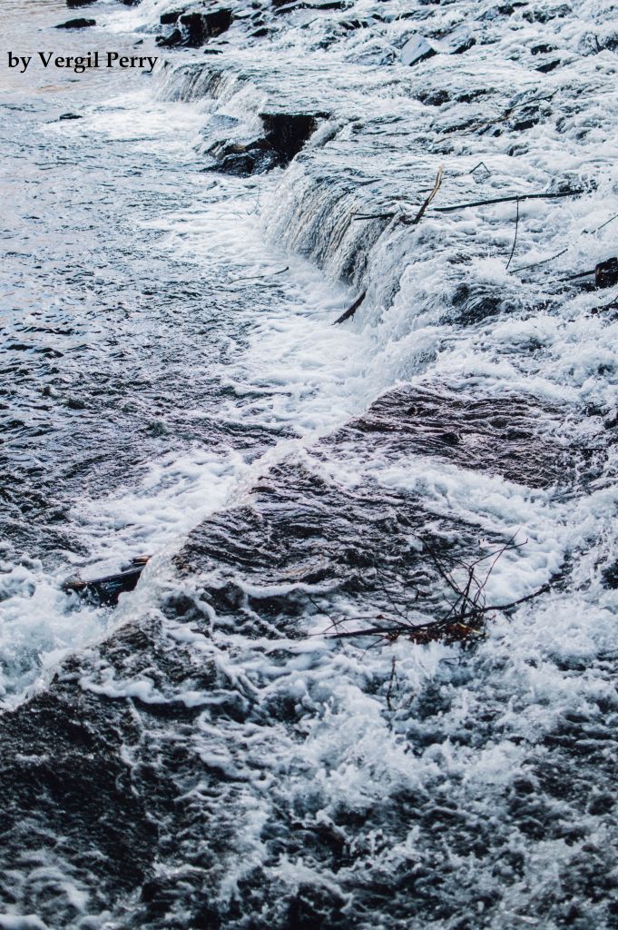 View of a flowing Red Clay Creek Photo credit: Vergil Perry | Quick facts ▲ Square Miles (total): 54.5 Square Miles (DE): 21.1 Population (total)*: 48,280 Population (DE)*: 25,043 States: DE, PA Counties: DE: New Castle PA: Chester *Source: U.S. Census Bureau, American Community Survey 5-year estimates, 2019.
Land cover (total)† ▲
Land cover within Delaware† ▲ †Source: National Oceanic and Atmospheric Administration, Office for Coastal Management. 2016 C-CAP Regional Land Cover. Coastal Change Analysis Program (C-CAP) Regional Land Cover.. |