Assawoman || Buntings Branch || Indian River || Indian River Bay || Iron Branch || Lewes-Rehoboth Canal || Little Assawoman || Rehoboth Bay
Lewes-Rehoboth Canal
Background The Lewes-Rehoboth Canal is located in eastern Sussex County. The canal, which is about 10 miles long, connects the Delaware and Rehoboth Bays. Rehoboth Bay makes up one of three of Delaware's Inland Bays. The Inland Bays consist of three interconnected bodies of water - Rehoboth Bay, Indian River Bay, and Little Assawoman Bay - all located in southeastern Sussex County that are further divided into subwatersheds. The subwatersheds of the Rehoboth Bay consists of the Lewes-Rehoboth Canal watershed and the Rehoboth Bay watershed. Most surface waters in this watershed are tidal in nature. The principal land uses in the basin include agriculture in upland areas, residential (including the town of Lewes) and commercial development near the water and at either end of the canal, and wetlands at water's edge.
Water Quality There are nutrient and bacteria TMDLs for the Lewes-Rehoboth Canal Watershed which requires a 40% reduction in phosphorus and nitrogen, 40% reduction in freshwater nonpoint bacteria, 23% reduction in marine nonpoint bacteria, and a cap on point source bacteria at a geometric mean concentration level of 35 CFU enterococcus/100mL. This watershed has sites sampled for a consistent suite of environmental contaminants. These contaminants are broadly classified as Volatile Organic Compounds (VOCs), Semi-Volatile Organic Compounds (SVOCs), Pesticides, Polychlorinated Biphenyls (PCBs) and Metals as listed using USEPA and DNREC defined standards. When sites are adjacent to water bodies sediment samples are collected to assess potential impact from a site on the health of the waters. Learn more information specific to this watershed from the DNREC Advanced Facility Search Tool.
Plants and Wildlife Delaware's Department of Natural Resources and Environmental Control (DNREC), Division of Fish and Wildlife conducts on-going inventories of natural communities as well as rare and declining species, (e.g., state and globally-rare plants, birds, insects, mussels, reptiles, and amphibians). It maintains a database, both electronic and manual, of its findings throughout the state. Learn more about the wildlife and plant communities in this watershed from the DNREC Division of Fish and Wildlife Conservation Programs. In addition, the Division of Fish and Wildlife, working with the University of Delaware's Institute for Public Administration - Water Resources Center, maintains online databases about plants and plant communities in Delaware. Learn more about the plant communities in this watershed from the DNREC Division of Fish and Wildlife.
Recreation and Culture State-owned areas that provide access to water-based recreation include Cape Henlopen Park, Gordon Pond Wildlife Area, Delaware Seashore State Park, and the Lewes-Rehoboth Canal Area. The inscription on the Lewes-Rehoboth Canal states, 'The Lewes-Rehoboth Canal connecting Rehoboth Bay and Delaware Bay was authorized by the U.S. River and Harbor Act of 1912. Initially, the canal was envisioned as a means of access to the sea for farmers and saw mills along the Indian River and Bay. Consent to aquire land for construction was granted to the U.S. government by the Delaware state legislature in 1913. Construction by the U.S. Army Corps of Engineers was completed in 1927. Today, this feeder route to the Inter-coastal Waterway is used by commercial and pleasure boats and provides access for pilot boats to guide ocean-going vessels up the Delaware Bay to the major ports of Wilmington and Philadelphia.'
Further Resources For more detailed information on this watershed, its water quality and resources, check out the following resources: Delaware TMDLs Delaware Watershed Plans Delaware Whole Basin Reports Center for Inland Bays 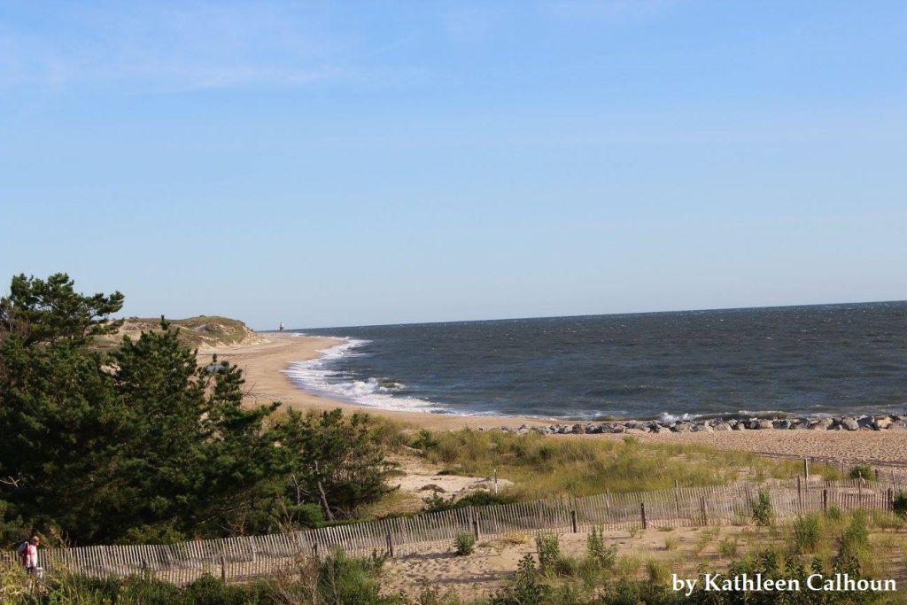 View of the beach and waters at Cape Henlopen Photo credit: Kathleen Calhoun | Quick facts ▲ Square Miles: 16.8 Population*: 9,773 States: DE Counties: DE: Sussex *Source: U.S. Census Bureau, American Community Survey 5-year estimates, 2019.
Land cover (total)† ▲ †Source: National Oceanic and Atmospheric Administration, Office for Coastal Management. 2016 C-CAP Regional Land Cover. Coastal Change Analysis Program (C-CAP) Regional Land Cover.. |