Appoquinimink River || Army Creek || Blackbird Creek || Broadkill River || C & D Canal East || Cedar Creek || Delaware Bay Drainage || Delaware River Drainage || Dragon Run Creek || Leipsic River || Little Creek || Mispillion River || Murderkill River || Red Lion Creek || Smyrna River || St. Jones River
Mispillion River
Background The Mispillion River is located in southeastern Kent County and northeastern Sussex County. It forms the dividing line between Kent and Sussex counties. There are nearly 70 miles of waterways plus several lakes and ponds in the watershed. There are four major water bodies in this watershed: Blairs Pond, Griffiths Lake, Haven Lake and Silver Lake. The headwaters of the Mispillion River origniate several miles inland and the river flows to the east where it drains into Delaware Bay. The two major urban areas are Milford and Houston. Major land use in the area consists of agricultural lands and wetlands. DNREC's Wetland Monitoring and Assessment Program (WMAP) has been developing scientifically robust methods to monitor and evaluate wetlands in Delaware on a watershed basis. Learn more about the health of the wetlands in this watershed from the DNREC Wetlands Monitoring and Assessment Program.
Water Quality There are nutrient and bacteria TMDLs for the Mispillion watershed which require an 88% nitrogen reduction in King's Causeway Branch and 57% in the rest of the watershed, an 88% phosphorus reduction in King's Causeway Branch and 57% in the rest of the watershed, and a nonpoint bacteria reduction of 87%. The designated uses for the Mispillion include primary recreation, secondary recreation, fish, aquatic life and wildlife, industrial water supply, and agricultural water supply in freshwater segments. This watershed has sites sampled for a consistent suite of environmental contaminants. These contaminants are broadly classified as Volatile Organic Compounds (VOCs), Semi-Volatile Organic Compounds (SVOCs), Pesticides, Polychlorinated Biphenyls (PCBs) and Metals as listed using USEPA and DNREC defined standards. When sites are adjacent to water bodies sediment samples are collected to assess potential impact from a site on the health of the waters. Learn more information specific to this watershed from the DNREC Advanced Facility Search Tool.
Plants and Wildlife Delaware's Department of Natural Resources and Environmental Control (DNREC), Division of Fish and Wildlife conducts on-going inventories of natural communities as well as rare and declining species, (e.g., state and globally-rare plants, birds, insects, mussels, reptiles, and amphibians). It maintains a database, both electronic and manual, of its findings throughout the state. Learn more about the wildlife and plant communities in this watershed from the DNREC Division of Fish and Wildlife Conservation Programs. In addition, the Division of Fish and Wildlife, working with the University of Delaware's Institute for Public Administration - Water Resources Center, maintains online databases about plants and plant communities in Delaware. Learn more about the plant communities in this watershed from the DNREC Division of Fish and Wildlife.
Recreation and Culture The Misipillion Lighthouse is a point located at the mouth of the river. It contains several wharfs used chiefly by fishing party boats and local oystermen.
Further Resources For more detailed information on this watershed, its water quality and resources, check out the following resources: Delaware TMDLs Delaware Watershed Plans Delaware Whole Basin Reports CCMP for the Delaware Estuary 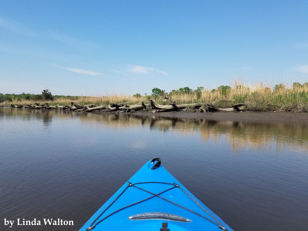 View of Mispillion River from kayak Photo credit: Linda Walton | Quick facts ▲ Square Miles: 76.4 Population*: 20,184 States: DE Counties: DE: Kent and Sussex *Source: U.S. Census Bureau, American Community Survey 5-year estimates, 2019.
Land cover (total)† ▲ †Source: National Oceanic and Atmospheric Administration, Office for Coastal Management. 2016 C-CAP Regional Land Cover. Coastal Change Analysis Program (C-CAP) Regional Land Cover.. |