Appoquinimink River || Army Creek || Blackbird Creek || Broadkill River || C & D Canal East || Cedar Creek || Delaware Bay Drainage || Delaware River Drainage || Dragon Run Creek || Leipsic River || Little Creek || Mispillion River || Murderkill River || Red Lion Creek || Smyrna River || St. Jones River
St. Jones River
Background The St. Jones watershed is located in the central portion of Kent County. The major watercourse in the watershed is the St. Jones River which has its headwaters in the western part of the county, about 22 miles upstream from the Delaware Bay. Significant ponds in the watershed are Silver Lake, Moores Lake, and Wyoming Lake. Flat wetlands, usually forested, exist mostly in the upper portion of the watershed and eventually drain into creeks and streams. Nontidal riverine wetlands and tidal wetlands line the banks of the river, sometimes up to 1/2 mile wide toward the mouth of the river. The St. Jones watershed is the most populated watershed in Kent County although it still has a lot of agriculture within its borders. DNREC's Wetland Monitoring and Assessment Program (WMAP) has been developing scientifically robust methods to monitor and evaluate wetlands in Delaware on a watershed basis. Learn more about the health of the wetlands in this watershed from the DNREC Wetlands Monitoring and Assessment Program.
Water Quality The nutrient and bacteria TMDLs for the St. Jones River Watershed require 40% reductions in nonpoint phosphorus and nitrogen loads and 90% reduction in nonpoint bacteria loads. Also the TMDLs require a limit on point source nitrogen to 9.2 lbs/day, a limit on point source phophorus to 0.37 lbs/day, and point source bacteria loads to 1.67E+09 colony forming units (CFU) per day. The designated uses for the St. Jones include primary recreation, secondary recreation, fish, aquatic life and wildlife, industrial water supply, and agricultural water supply in freshwater segments. This watershed has sites sampled for a consistent suite of environmental contaminants. These contaminants are broadly classified as Volatile Organic Compounds (VOCs), Semi-Volatile Organic Compounds (SVOCs), Pesticides, Polychlorinated Biphenyls (PCBs) and Metals as listed using USEPA and DNREC defined standards. When sites are adjacent to water bodies sediment samples are collected to assess potential impact from a site on the health of the waters. Learn more information specific to this watershed from the DNREC Advanced Facility Search Tool.
Plants and Wildlife The St. Jones Watershed is home to one of the few significant populations of Atlantic White Cedar in the state. Delaware's Department of Natural Resources and Environmental Control (DNREC), Division of Fish and Wildlife conducts on-going inventories of natural communities as well as rare and declining species, (e.g., state and globally-rare plants, birds, insects, mussels, reptiles, and amphibians). It maintains a database, both electronic and manual, of its findings throughout the state. Learn more about the wildlife and plant communities in this watershed from the DNREC Division of Fish and Wildlife Conservation Programs. In addition, the Division of Fish and Wildlife, working with the University of Delaware's Institute for Public Administration - Water Resources Center, maintains online databases about plants and plant communities in Delaware. Learn more about the plant communities in this watershed from the DNREC Division of Fish and Wildlife.
Recreation and Culture Historically, the river has endured ditching and dredging to straighten the main channel to facilitate the transportation of goods from nearby farms and businesses. The river served as a highway to larger cities. These alterations have affected the marsh's vegetation communities.
Further Resources For more detailed information on this watershed, its water quality and resources, check out the following resources: Delaware TMDLs Delaware Watershed Plans Delaware Whole Basin Reports CCMP for the Delaware Estuary 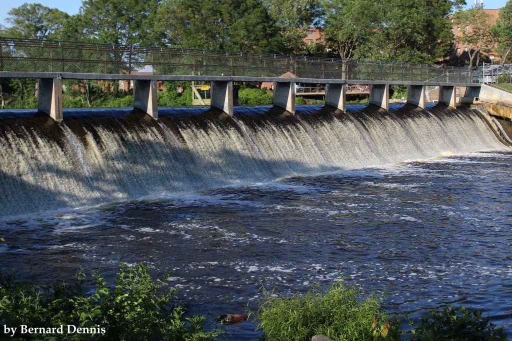 View of Silver Lake in Dover Photo credit: Bernard Dennis | Quick facts ▲ Square Miles: 90.0 Population*: 75,289 States: DE Counties: DE: Kent *Source: U.S. Census Bureau, American Community Survey 5-year estimates, 2019.
Land cover (total)† ▲ †Source: National Oceanic and Atmospheric Administration, Office for Coastal Management. 2016 C-CAP Regional Land Cover. Coastal Change Analysis Program (C-CAP) Regional Land Cover.. |