Appoquinimink River || Army Creek || Blackbird Creek || Broadkill River || C & D Canal East || Cedar Creek || Delaware Bay Drainage || Delaware River Drainage || Dragon Run Creek || Leipsic River || Little Creek || Mispillion River || Murderkill River || Red Lion Creek || Smyrna River || St. Jones River
Smyrna River
Background The Smyrna River watershed is located in the northeastern corner of Kent County. Its major water course is the Smyrna River which forms part of Kent County's northern boundary and New Castle County's southern boundary. The Smyrna River generally flows in a northeasterly direction. The lower ten miles are tidal. Land use is mostly agricultural. There are two incorporated areas in the watershed, Smyrna and Clayton. DNREC's Wetland Monitoring and Assessment Program (WMAP) has been developing scientifically robust methods to monitor and evaluate wetlands in Delaware on a watershed basis. Learn more about the health of the wetlands in this watershed from the DNREC Wetlands Monitoring and Assessment Program.
Water Quality The nutrient and bacteria TMDLs for the Smyrna River Watershed require 40% reductions in phosphorus and nitrogen loads and 75% reduction in bacteria loads. The designated uses for the Smyrna River include primary recreation, secondary recreation, fish, aquatic life and wildlife, industrial water supply, and agricultural water supply in freshwater segments. This watershed has sites sampled for a consistent suite of environmental contaminants. These contaminants are broadly classified as Volatile Organic Compounds (VOCs), Semi-Volatile Organic Compounds (SVOCs), Pesticides, Polychlorinated Biphenyls (PCBs) and Metals as listed using USEPA and DNREC defined standards. When sites are adjacent to water bodies sediment samples are collected to assess potential impact from a site on the health of the waters. Learn more information specific to this watershed from the DNREC Advanced Facility Search Tool.
Plants and Wildlife Delaware's Department of Natural Resources and Environmental Control (DNREC), Division of Fish and Wildlife conducts on-going inventories of natural communities as well as rare and declining species, (e.g., state and globally-rare plants, birds, insects, mussels, reptiles, and amphibians). It maintains a database, both electronic and manual, of its findings throughout the state. Learn more about the wildlife and plant communities in this watershed from the DNREC Division of Fish and Wildlife Conservation Programs. In addition, the Division of Fish and Wildlife, working with the University of Delaware's Institute for Public Administration - Water Resources Center, maintains online databases about plants and plant communities in Delaware. Learn more about the plant communities in this watershed from the DNREC Division of Fish and Wildlife.
Further Resources For more detailed information on this watershed, its water quality and resources, check out the following resources: Delaware TMDLs Delaware Whole Basin Reports CCMP for the Delaware Estuary 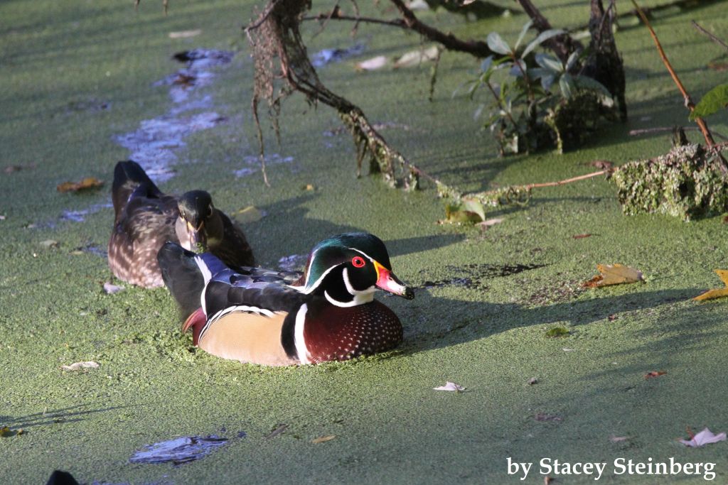 View of wood ducks swimming Photo credit: Stacey Steinberg | Quick facts ▲ Square Miles: 63.9 Population*: 23,166 States: DE Counties: DE: New Castle and Kent *Source: U.S. Census Bureau, American Community Survey 5-year estimates, 2019.
Land cover (total)† ▲ †Source: National Oceanic and Atmospheric Administration, Office for Coastal Management. 2016 C-CAP Regional Land Cover. Coastal Change Analysis Program (C-CAP) Regional Land Cover.. |