Brandywine Creek || Christina River || Naamans Creek || Red Clay Creek || Shellpot Creek || White Clay Creek
Naamans Creek
Background Naamans Creek is a tributary of the Delaware River in northeast New Castle County, Delaware and extreme southeast Delaware County, Pennsylvania. The creek has two main branches (North and South) each about 6 miles in length; the North Branch drains residential and commercial areas in Pennsylvania west of Marcus Hook, while the South Branch drains a similar area in Delaware. The stream rises near the intersection of Foulk Road and Naamans Creek Road in Bethel Township, Pennsylvania and discharges directly into the Delaware River in Claymont, Delaware. Most of this watershed is non-tidal but there is a tidal dam located on lower Naamans Creek. The land use of the watershed is primarily urban residential, industrial and commercial.
Water Quality There are TMDLs in the Naamans Creek Watershed that require a 78% reduction in bacteria and caps on phosphorus and nitrogen loads. The Naamans Creek watershed has the following use designations: primary contact recreation, secondary contact recreation, fish, aquatic life, and wildlife, agricultural water supply for freshwater segments, and industrial water supply. This watershed has sites sampled for a consistent suite of environmental contaminants. These contaminants are broadly classified as Volatile Organic Compounds (VOCs), Semi-Volatile Organic Compounds (SVOCs), Pesticides, Polychlorinated Biphenyls (PCBs) and Metals as listed using USEPA and DNREC defined standards. When sites are adjacent to water bodies sediment samples are collected to assess potential impact from a site on the health of the waters. Learn more information specific to this watershed from the DNREC Advanced Facility Search Tool.
Plants and Wildlife Delaware's Department of Natural Resources and Environmental Control (DNREC), Division of Fish and Wildlife conducts on-going inventories of natural communities as well as rare and declining species, (e.g., state and globally-rare plants, birds, insects, mussels, reptiles, and amphibians). It maintains a database, both electronic and manual, of its findings throughout the state. Learn more about the wildlife and plant communities in this watershed from the DNREC Division of Fish and Wildlife Conservation Programs. In addition, the Division of Fish and Wildlife, working with the University of Delaware's Institute for Public Administration - Water Resources Center, maintains online databases about plants and plant communities in Delaware. Learn more about the plant communities in this watershed from the DNREC Division of Fish and Wildlife.
Recreation and Culture The watershed is served by a good system of community parks operated by New Castle County and the northern section of Fox Point State Park lies along a substantial portion of the Delaware River shoreline. The towns of Arden, Ardentown, and Ardencroft, which are located in the watershed, have parks and open space within their corporate boundaries. Many of these areas are connected by a system of pedestrian trails.
Fish and wildlife recreational opportunities are limited within the watershed because of its small size and high human population density. Recreational hunting is extremely limited due to safety concerns. Recreational fishing and boating opportunities are primarily limited to a few tributaries of the Delaware River and several private ponds scattered throughout this area. Fox Point State Park provides a public fishing area in the watershed. This state park provides some shoreline fishing of the Delaware River.
Further Resources For more detailed information on this watershed, its water quality and resources, check out the following resources: Delaware TMDLs Delaware Watershed Plans Delaware Whole Basin Reports 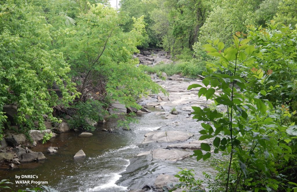 View of Naamans Creek flowing through trees and shrubs Photo credit: DNREC's WATAR Program | Quick facts ▲ Square Miles (total): 27.2 Square Miles (DE): 10.2 Population (total)*: 86,009 Population (DE)*: 37,177 States: DE, PA Counties: DE: New Castle PA: Delaware *Source: U.S. Census Bureau, American Community Survey 5-year estimates, 2019.
Land cover (total)† ▲
Land cover within Delaware† ▲ †Source: National Oceanic and Atmospheric Administration, Office for Coastal Management. 2016 C-CAP Regional Land Cover. Coastal Change Analysis Program (C-CAP) Regional Land Cover.. |